Sketch of New Orleans, taken from Fort St. Charles
This file appears in: From Fort St. Charles to the U.S. Mint
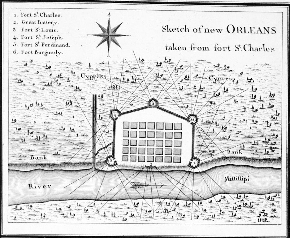
Fort St. Charles appears as Numeral 1. Originally published as part of A Journey in North America, containing a Survey of the Countries watered by the Mississippi, Ohio, Missouri, and other Affluing Rivers; with Exact Observations on the Course and Soundings of these Rivers; and on the Towns, Villages, Hamlets, and Farms of that Part of the New World; followed by Philosophical, Political, Military and Commercial Remarks, and by a Projected Line of Frontiers and General Limits. Illustrated by an Atlas of 36 Maps, etc. By Gen. V. Callot, late in the French Service, and Governor of Guadeloupe.
This file appears in: From Fort St. Charles to the U.S. Mint
From Fort St. Charles to the U.S. Mint
The United States Mint was once the site of Fort St. Charles, one of the defenses built in 1792 during the Spanish period. Fort St. Charles was the largest of five fortifications surrounding the city.…