Bayou St. John
Bayou St. John is a slow-moving waterway that flows into Lake Pontchartrain. Today, it winds through several neighborhoods and forms a boundary for one side of City Park on its journey to the lake.
Before and during French colonization, Indigenous people used the bayou as a shortcut to navigate between the Gulf of Mexico and the Mississippi River, taking advantage of the place where the river and Bayou St. John were closest together. They portaged their boats between the waterways, carrying them along a slightly raised road formed by sediment deposits.
Traveling up the river in 1699, colonial administrator Pierre Le Moyne de Iberville recorded an Indigenous guide showing him what may be this portage. A few years later, Iberville’s brotherJean-Baptiste Le Moyne de Bienville chose the present-day site of New Orleans for France’s colonial outpost in part because of this shortcut. Because of this, bayou- front properties were some of the first to be developed in the area during the colonial period.
Learn about some notable historic sites as you stroll along Bayou St. John.
Access: Walking or biking
Distance: ~1 mile, ~30 minutes
Stories 6
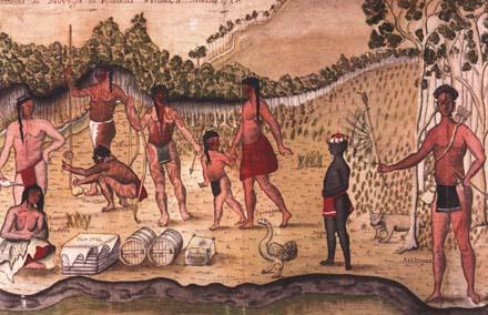
The Geological Formation of the Metairie-Gentilly Ridges
The winding nature of the Mississippi not only gave New Orleans its nickname: the Crescent City but also created the land you are standing on today.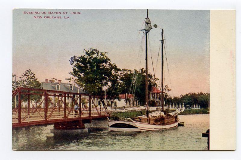
Magnolia Bridge
Magnolia Bridge was built in 1908, when Bayou St. John was still a commercial waterway. It is a Pratt Truss bridge that originally pivoted at the center to allow commercial vessels and barges to pass…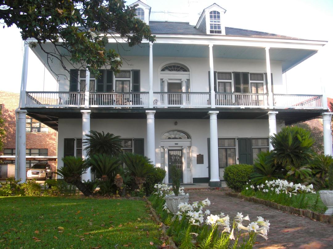
Evariste Blanc House
Evariste Blanc built the mansion you see before you around 1834. According to city directories, Evariste Blanc was a hardware merchant, ship chandler, and lime merchant. By 1834 Blanc also had a…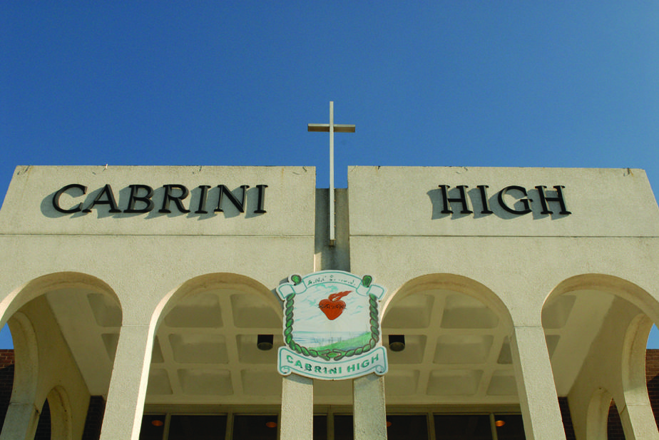
Cabrini High School
Cabrini High School was named for Mother Frances Xavier Cabrini, founder of the Missionary Sisters of the Sacred Heart. Mother Cabrini was born in Italy and traveled to New York to provide catechism…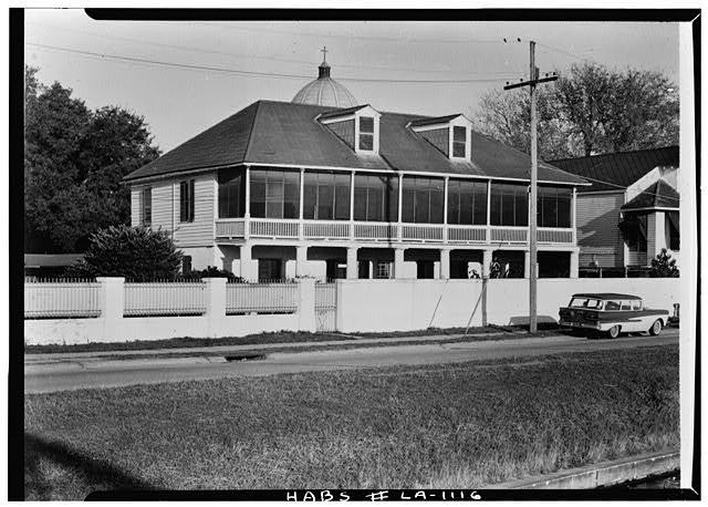
Pitot House
The Pitot House was built in 1799 as a country home for Bartholemé Bosque. The Pitot House is named after James Pitot, who occupied the property from 1810 until 1819. James Pitot was born in…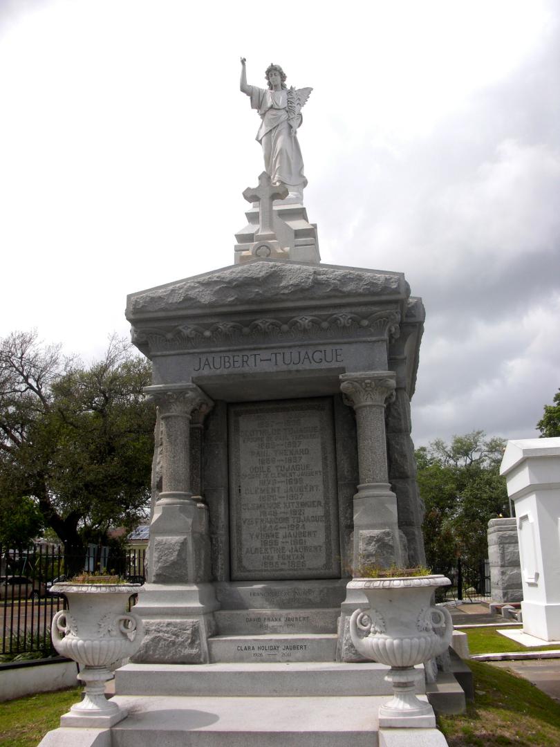
St. Louis Cemetery No. 3
An 1848 city legislature act allowed the Catholic wardens to establish a new cemetery. Land along Bayou St. John, purchased from Evariste Blanc for $15,000, became St. Louis Cemetery #3. The cemetery…Tour curated by: Amanda Knight